My threats at the GPS were not idle!
Mere moments after arriving home (probably after saying hello to my child and husband, but not necessarily) I hopped on the Amazon Machine and ordered a Garmin Montana.
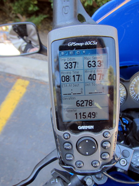
I decided on the Montana for a few reasons: Â I knew I wanted a handheld GPS as opposed to their automotive line. Â I do have an automotive Garmin for my car (the Nuvi 255) and it works perfectly well, but it’s very bare-bones. Â In the car, that’s OK — I need a GPS to get me to a playgroup or a new restaurant in town. Â For the bike, though, I need the ability to customize menus and change routes on the fly and change map views and do all sorts of wonky long-distance-motorcycle-ride sort of stuff. Â I also need my motorcycle GPS to be sturdy and waterproof in case of wind/rain/being dropped in parking lots/gravel trucks kicking up yuck/etc. Â Finally, I liked how the Montana can be charged either via a rechargeable lithium ion battery (included) or by standard AA batteries (for what it’s worth, using the GPS for about 3 hours today, including spending a LOT of time tweaking displays and data fields and turning the back light on etc used up about 1/3 of the lithium ion battery).
Garmin has a buttload of handheld devices right now, which is awesome. Â Choices rock! Â I think any number of them would have worked for me but I chose the Montana specifically because of its large screen size and incredible customization ability.
Before we even get to the bike, the out-of-box experience with the Montana was really good. Â The GPS came with a very intuitive quick-start manual which easily walked me through the basics of the device, setting it up for the first time, charging it, etc. Â A+ on out-of-box, Garmin!
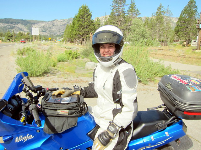
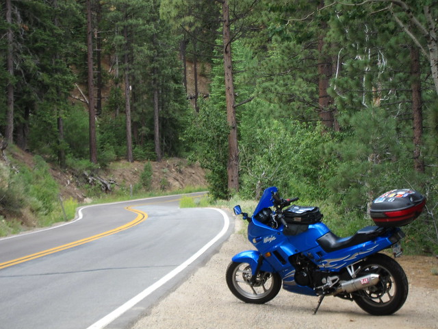
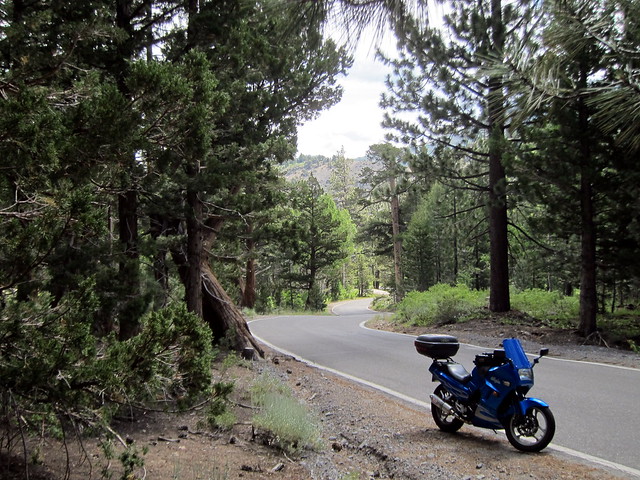
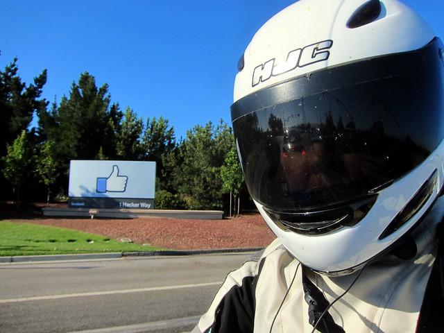
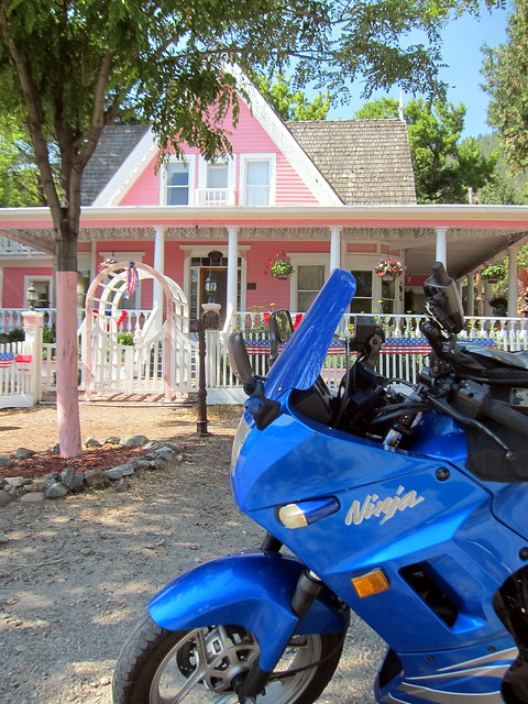
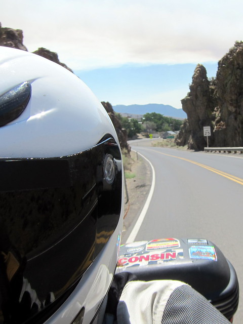
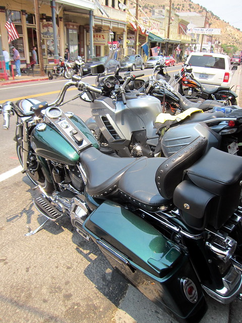
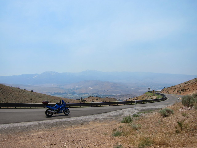
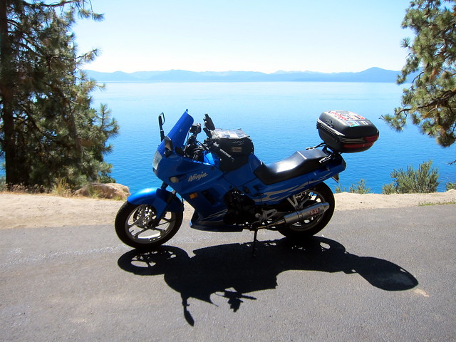
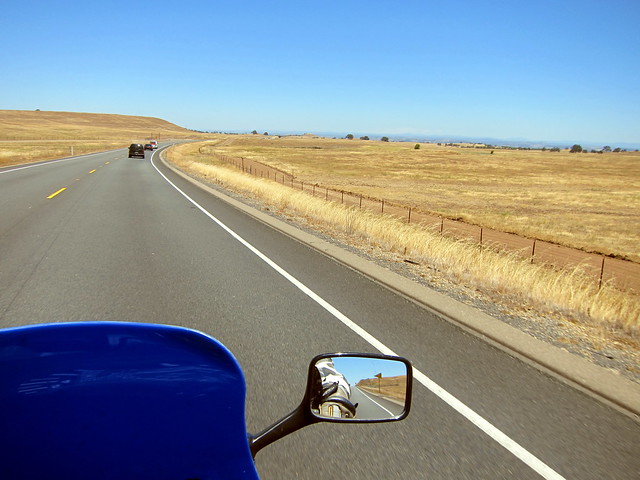
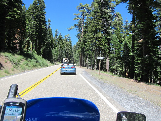
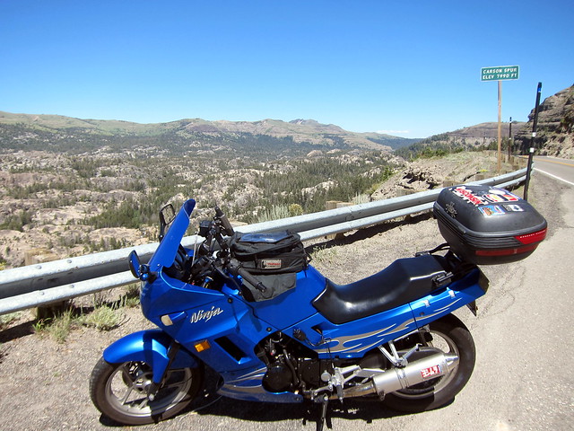
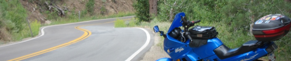
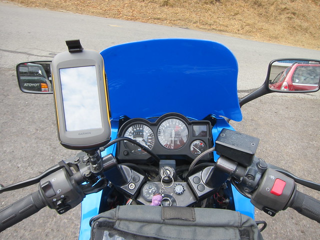
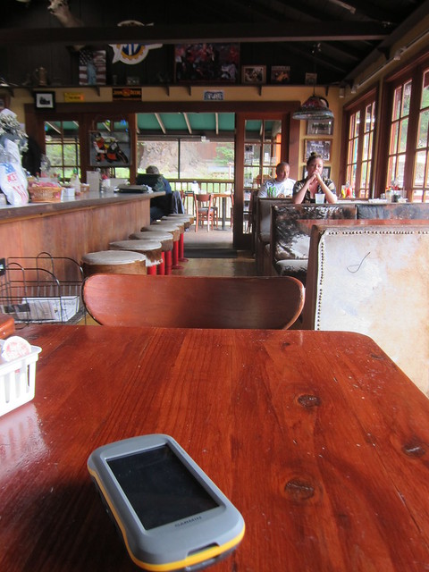
OK, onto the bike. Â The only thing I wondered was whether the physical size of the Montana would be too large, especially on the teensy Ninjette. Â Happily, I don’t think it is. Â It looks like it takes up a huge amount of space in this photo, but some of that is perspective. Â It definitely did not get in the way of seeing any of the bike’s gauges or the lefthand mirror.
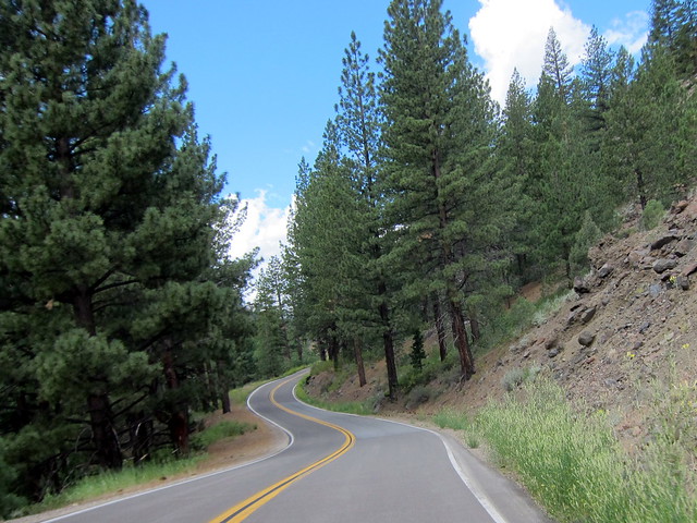
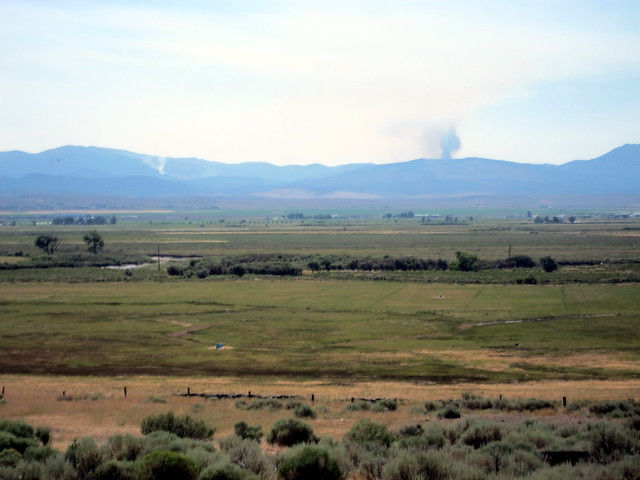
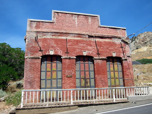
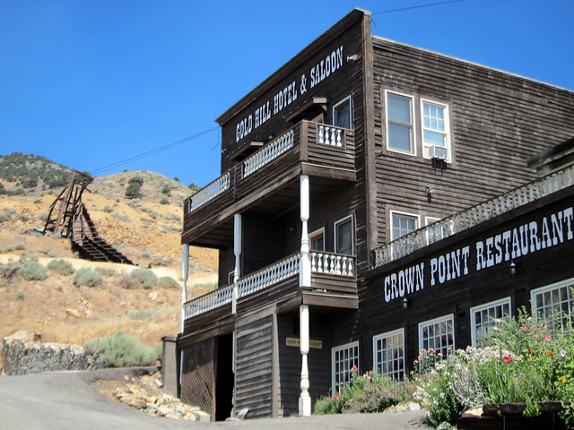
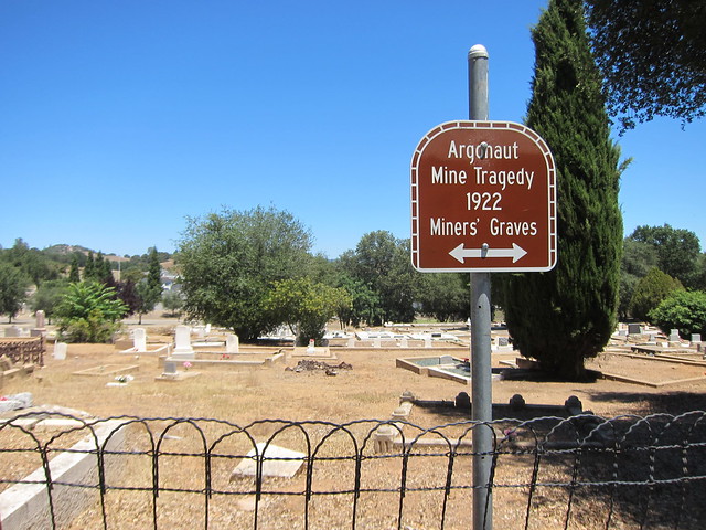
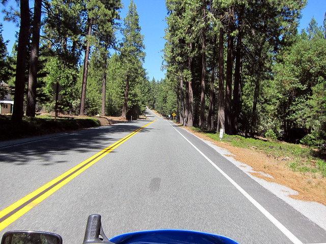
My ride today was simple intentionally: just to test out the GPS and get it set up the way I want. Â The nearly-limitless customizable features are fantastic but it means it needs a bit of trial and error and tweaking to get “just right”. Â I loaded in a custom points-of-interest file that lists all of the historical markers in the United States (happysigh) and figured doing a bit of historical marker photography would be a good way to test out the navigation.
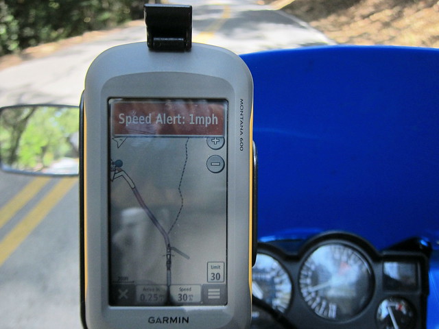
One of the first things I figured out was how to turn off the sounds. Â When I approached the first historical marker, the GPS started freaking out at me and sounding off all kinds of crazy alarms (including a “speed alarm” when it thought I was going even 1mph too quickly to be able to stop for the marker….I couldn’t find a way to turn this off as I believe it’s embedded in the custom POI data).
My first complaint is really petty but given just how customizable this thing is, it seems silly: Â in this particular view, you can have one big data field or you can have four data fields. Â Dammit, I want two! Â Just two data fields on top and then the nice map. Â I don’t want four! Â Stop taking up my screen real estate with data fields! Get off my lawn!

I wound up switching the “dashboard view” from “small data fields” (as shown above) to “Nuvi” which, not surprisingly, mimics the dashboard view from the Nuvi GPS line. Â It’s not perfect for me — I wish I could get rid of the “speed” data field and put something else there, for example — but it’s the closest I’ve found so far.

The above is an example of a route that’s currently in progress. Â The navigation UI is pretty intuitive. Â One slightly confusing thing is that in the above view, the bright green line is the track of where I’ve already been and the purple line is the navigation for where I’m going. Â The track line is very bright and kept drawing my attention, but changing the line’s color might be all that’s needed there.
Another slight nitpick: the touch screen works very well with gloves on but it’s difficult to hit the zoom buttons. Â I’d guess that 75% of the time when I tried to hit + or – it thought I was trying to tap on a spot on the map instead and re-centered to that spot. Â It’s not difficult to hit the “back” arrow and get back to the previous view but it was frustrating. Â I have very small fingers, too, so I imagine it’s nearly impossible for bigger people to hit those zoom buttons accurately. Â It’s weird, because they’re decently-sized buttons on the screen.
Another slight nitpick is that there’s considerably more glare on the screen than there was with the 60CSx. Â It’s still readable but I did find myself fiddling with the angle of the GPS while riding occasionally. Â The RAM mount makes it easy to do so, but if you have a fixed mount, that could get really annoying.
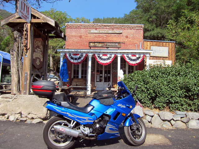
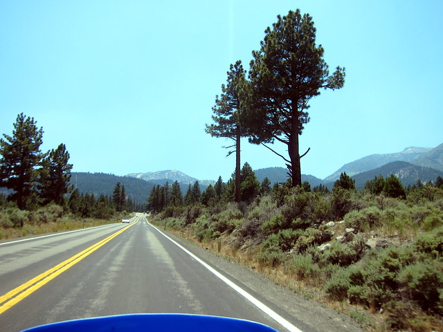
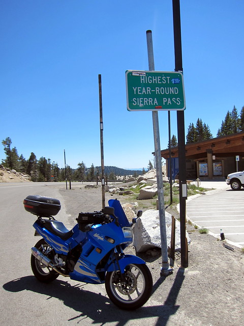
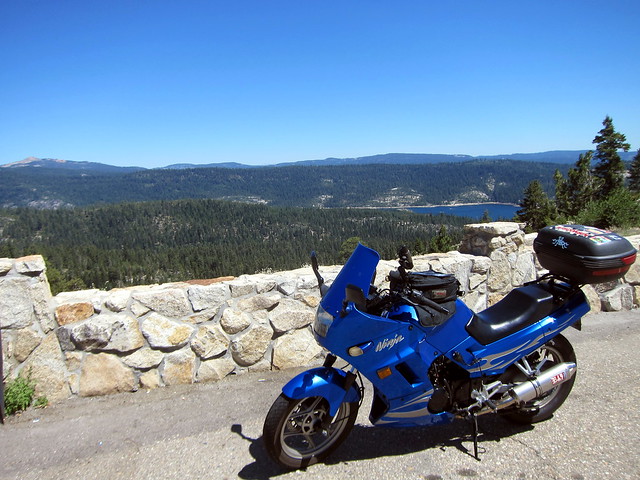
Time for some off-the-bike fiddling and lunch at Alice’s!

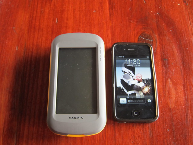
Here’s a quick comparison of how the screen size matches up to an iPhone 4:
I spent lunch mucking around with the customizable bits. Â I locked the screen on portrait mode (leaning into turns sometimes made it switch into landscape) and got the “trip computer” screen set up the way I wanted.
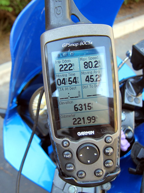
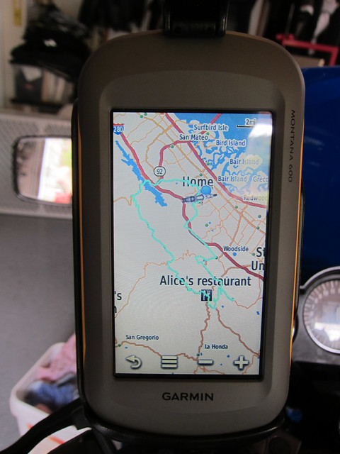
Here are the ride stats with the trip computer set up to my liking. Â Each of those data fields is customizable and there are a LOT of options.

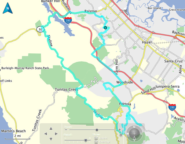
Here’s what the track map looks like:
Once home, I downloaded the track log into Garmin’s BaseCamp software. Â I tried to get it imported into Google Maps but lost patience when I had to go through Google Earth first. Â I ran into some glitch with Google Earth and didn’t have time to debug it this afternoon. Â Hopefully I can get that figured out relatively soon so that I can easily include Google Maps with my ride reports…but in the meantime, the BaseCamp map isn’t terrible (not interactive, but it’s a start).
Incidentally, the Montana seems to play nicely with my Mac so far. Â I’ve used Garmin Express to update the map software, Garmin BaseCamp to play a little with routes and to import the track map above, and Garmin POILoader to load the custom points of interest file onto the Montana. Â All of the above worked seamlessly; I was impressed.
So those are my first impressions of the Montana. Â There are a couple of UI things I need to get used to after having the 60CSx for years and years, and the zoom button thing is pretty annoying, but other than that, I’m a happy camper.
If you have a LOT of free time and wish to read a whole crapton of info about the Montana from other motorcyclists, check out the ADVRider thread.