2008 B4TheSnowFlies Ride
Thankfully, Sunday dawned warm and mostly clear -- and with an extra hour of sleep thanks to the end of Daylight Savings Time!
We had a little group of three for our ride home: me, Peter, and Jim (Explorer). The Generals Highway, which makes a loop through Kings Canyon National Park, was closed due to snow from the previous night's storm so, once again, we missed the actual park and instead headed north.
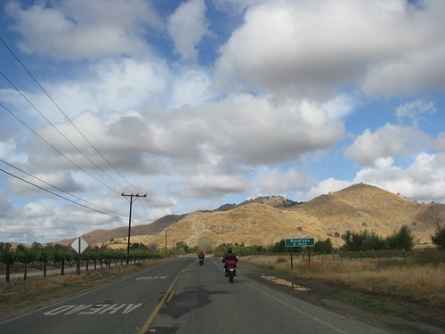
CA State Route 245 is a fun rural road that runs north-south along the western edge of the park.
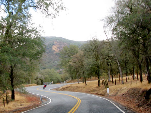
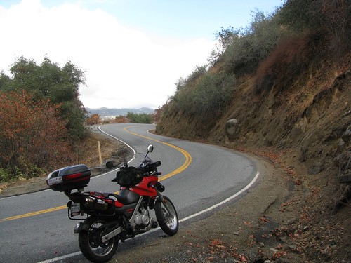
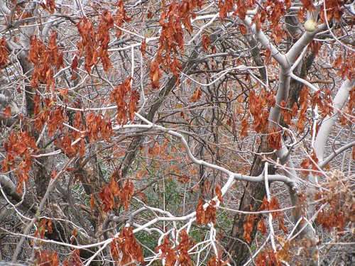
One of my favorite things along State Route 245 is all of the California Buckeye trees. They grow mostly between 1000' and 3000' in elevation and grow to be about 40' tall. In the fall, the orange leaves and white stems make for great scenery.
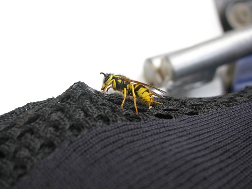
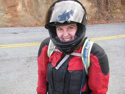
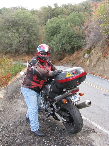
Peter took great pride in photographing a little friend he made at a rest stop; then he photographed me to prove I was actually on the ride. I returned the favor.
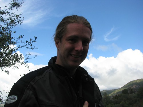
Jim got into the action, too:
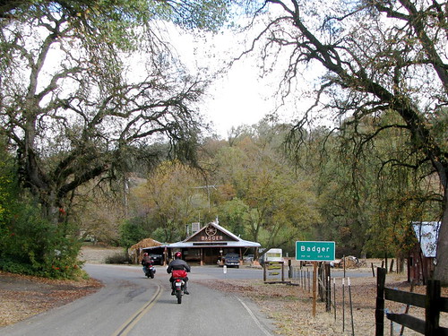
A little bit further along State Route 245 lies the town of Badger, California.
Badger has a population of 140, including a surprisingly strong Hare Krishna following. The town features a Krishna school, the New Braja Village School, and hosts an annual celebration for the spiritual guru Srila Bhaktivedanta Narayana Maharaja.
As we continued up in elevation (Badger is at about 3000'), the roads grew wet and slippery. I slowed down a bunch after coming around one corner to find the road like this:

Lots of wet pine needles and curvy roads convinced me that it's time to work on the Beemer's braking system...fishtailing over wet leaves is no fun at all!
After a few miles, we came to the intersection of Dunlap Road. State Route 245 continues on to the northeast; we turned onto Dunlop to head northwest.


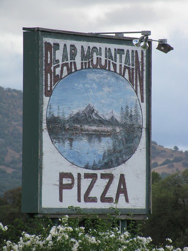
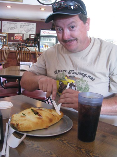
We stopped for a well-deserved lunch at Bear Mountain Pizza off of Hwy 180 in Squaw Valley. The pizza here is awesome and it's a perfect location to stop and rest for a while. Jim, Peter, and I give it six thumbs up.

After lunch, Jim took us north on a road which switched names a bazillion times (Elwood to Pine Flat to Trimmer Springs to Maxon to Watts Valley, for those playing along at home). It was a great route that led us along the western edge of Pine Flat Lake, one of California's largest lakes with nearly a million acre-feet capacity. The lake's concrete dam was built by the US Army Corps of Engineers in 1954 and houses a 165 MW hydroelectric plant.
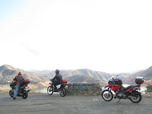
The lake level was pretty low, as you can tell in the photo below (look for the horizontal watermarkings on the hills):
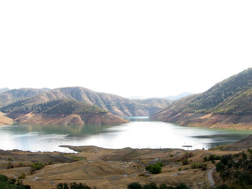
We continued on alongside the lake, the hillsides offering some really nice riding.
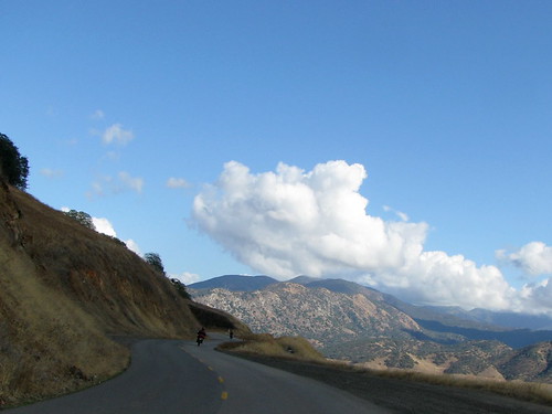
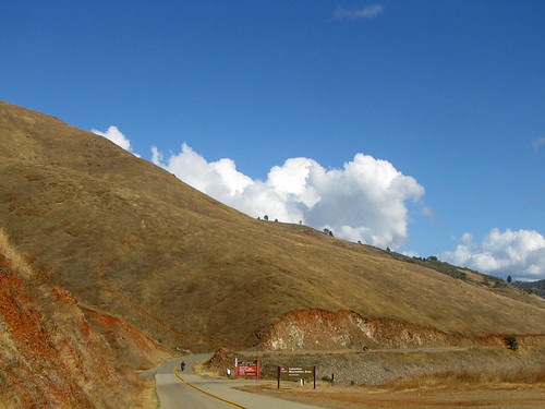
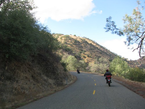
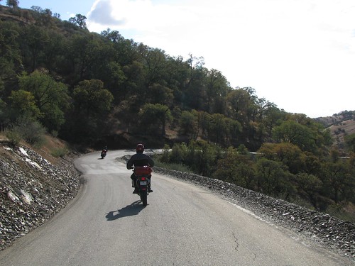
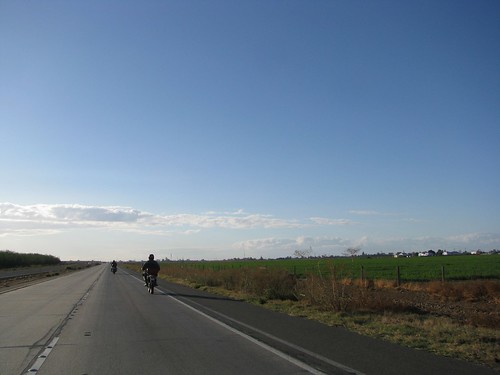
Unfortunately, all good riding must come to an end, especially when you're on the eastern side of the Central Valley.
Soon we were amongst the straight, flat, farmlands again, hightailing it back west.
We stopped for dinner at Casa de Fruta, which is pretty much my ideal roadside attraction ever. It's huge and cheesy and contains vast amounts of produce. All it needs is a musuem and interpretive trail and I would never leave.
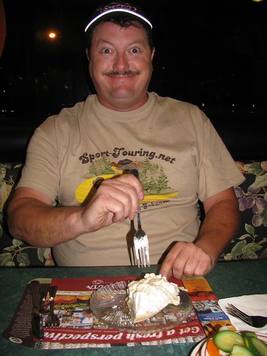
The food at the restaurant isn't gourmet or anything, but they do have fantastic pies.
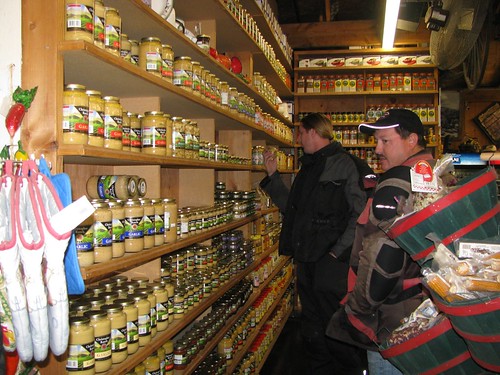
Peter and Jim inspect the wall of garlic:
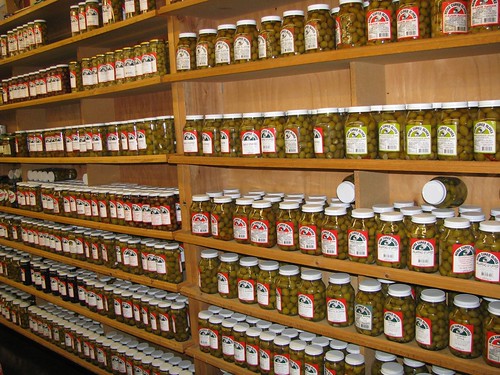
Personally, I prefer the wall of olives:
And then, 70 miles later, we were home. A great weekend; good beer, good massages, good roads, good people. A perfect motorcycling weekend!
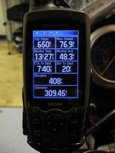
Stats for the day:
