I am utterly hell-bent on getting caught up with this whole “internet web log” that I have going here. Â Either that or it has to start raining really soon now so that I stop riding and thus stop having things to blog about….nah, that doesn’t really sound good.
So, yesterday was Daylight Savings Time, which traditionally means that we can all sleep in an “extra” hour. Â What it traditionally means for me is that I wake up at my normal time, which is now an hour early, and then I sit around thinking, “well, crap, now what should I do?” Â Fortunately, despite it being early November, when I woke up at 8am yesterday, it was bright and sunny out. Â That meant riding!
I had high hopes of finding something that vaguely resembled fall colors, so I decided to head to the East Bay.
Crossing the Dumbarton Bridge:

I hopped onto Alvarado-Niles Road in Fremont, which becomes Niles Canyon Road. Â Niles Canyon is cut out by Alameda Creek, the largest watershed in the southern Bay Area.
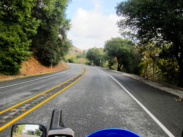
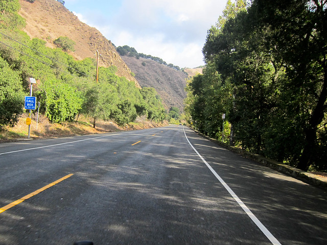
Someday, I really want to take the Niles Canyon Railway between Niles and Sunol. Â They do an annual “Train of Lights” between Thanksgiving and Christmas; maybe I can convince Peter that he really wants to spent an hour on a lit up train in the cold and dark…hrm, maybe we should wait until the New Year when the daylight train service resumes.
In the meantime, I made do with following Niles Canyon on a slightly smaller iron horse.
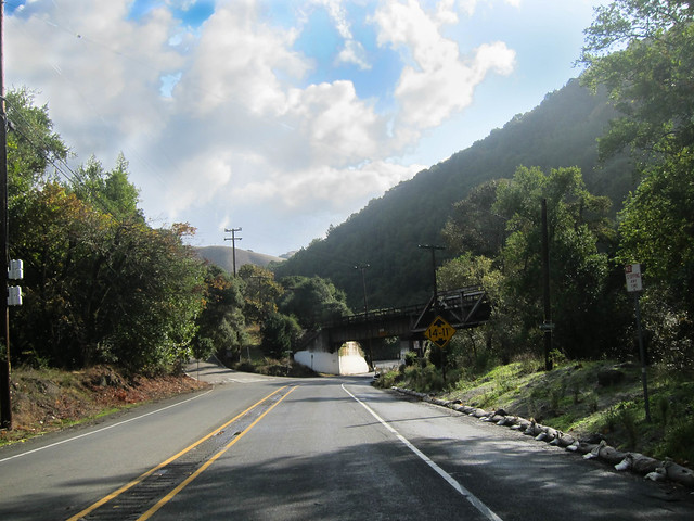
The train trestle is pretty prominent in that photo.
The road veering off to the left is the turn-off for Palomares Road, which I rode the last time I was in the East Bay. Â If I had to guess, I’d say I miss that turn-off a good 50% of the time. 😉
I took Niles Canyon into Sunol, the eastern terminus for the Niles Canyon Railroad. Â The bustling metropolis of Sunol (population 913) exists pretty much for the railroad. Â There’s also a very good cafe right on Main Street that I’ve eaten at on many previous rides. Â Thumbs up.
The other attraction to Sunol is the Sunol Water Temple, which I wrote about and photographed here. Like the Pulgas Water Temple close to my house, however, it’s closed on weekends, so I had to ride past it once again yesterday.
I hopped onto Calaveras Road and begun the 10-mile jaunt down to Milpitas. Â Most of Calaveras is a one-and-a-half-ish lane twisty road that winds through the Calaveras Valley alongside the Calaveras Reservoir (once you find a good name, you stick with it).
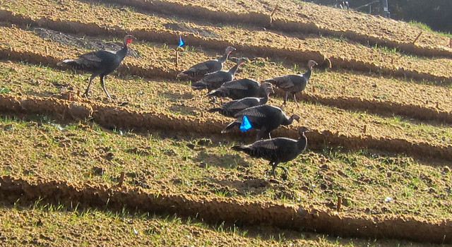
The beginning part of the road is straight, allowing nice speeds as long as you watch out for the wild turkey.
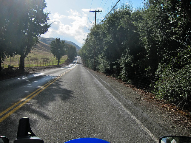
I don’t have any pictures of the reservoir itself because there really aren’t any shoulders along Calaveras Road (definitely not when you’re headed south, as you’re pretty much hugging a hillside at that point). Â I love all my readers, but not enough to dive across a one lane road in the middle of a blind turn to maybe find an off-camber place to park in sand to possibly photograph a reservoir.
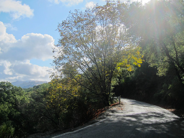
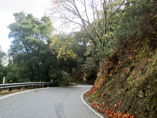
Here, have some photos of the road instead:
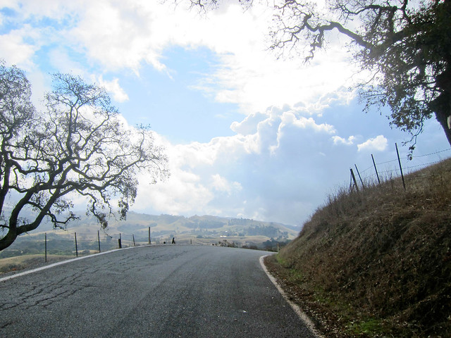
Calaveras Road ends up in some nice farmland, where I finally got off the bike long enough to take a picture of it. Â First shoulder I’d seen in an hour.
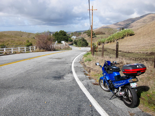
From there, Calaveras spits you out right into downtown Milpitas, where I hopped on the interstate and tootled along back home.
4 Responses to East Bay riding