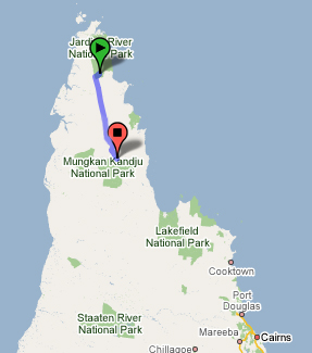
Creeks and rivers and mud, oh my!
In the morning, we brushed our teeth and filled our Camelbaks right from Bertie Creek. I was skeptical, coming from an urban area with water treatment facilities and purification tablets, but Roy insisted that it was fine, and he was right.
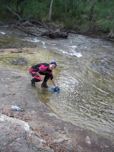
My map counts another ten creek crossings between our camp and Bramwell Lodge (the next roadhouse), which sounds about right.
I was pretty frustrated with them all by the time we got to the last big one — Palm Creek — because once again, I was asking Joel to do most of them for me.
With more experience and saddle time on a dirtbike, I’ll be able to handle sandy approaches to thigh-deep rocky rivers with steep muddy exits after a full morning of washouts and ruts, but on this trip, I just wasn’t able to.
I was going so slowly, in fact, that the supply truck passed me just before Palm Creek. We waved the truck past since we didn’t want to hold it up while we gave the creek a try. Problem was….the truck didn’t make it.
For nearly an hour we watched Joel find logs and rocks to pile under the truck tires to no avail, and finally Roy and Joel were forced to break out the truck’s winch. There wasn’t a good tie down point and even with the winch, it took many tries and a lot of hoping to get the truck up the incline.
Peter waiting for the truck at Palm Creek:
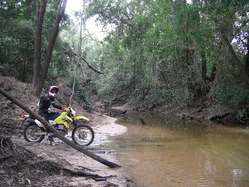
The truck giving it another go at Palm Creek:
By that point, Linc had come back from Bramwell Lodge, where the rest of the group was resting and wondering what the hell was taking us so long. Linc and Joel rode Peter’s and my bikes up the steep and muddy creek exit (with no opposition from us at that point) and we headed to Bramwell for a quick snack break.
Approaching the Wentlock.
The group stayed together for about 40km, heading south on the Old Telegraph Track towards the Wentlock River. There were a few more creek crossings, but they were generally dried up or easy, and there were no further dramas.
This section of the OTT really does follow the original telegraph track, and there were many poles visible along the way….even ones eaten by termite mounds.
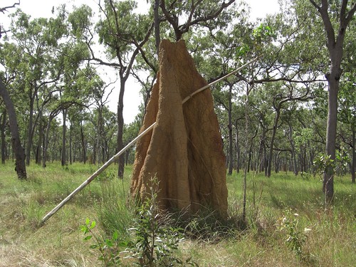
The Wentlock is generally considered the dividing line of the Cape, where the “true adventure” begins (or ends, if you’re going south like us!). I wouldn’t say that we ran out of adventure at the Wentlock, but the roads did definitely get more accessible for someone with my skill set, which was greatly appreciated by that point.
A bridge opened across the Wentlock in 2001, allowing access to the northern part of the Cape during the Wet….sometimes. Running water usually flows over the top of the bridge during the summer months, and it can get up to 20 meters deep. Check out the sign in the tree above me in this photo…the text says “we were here in a boat, March 2003”!
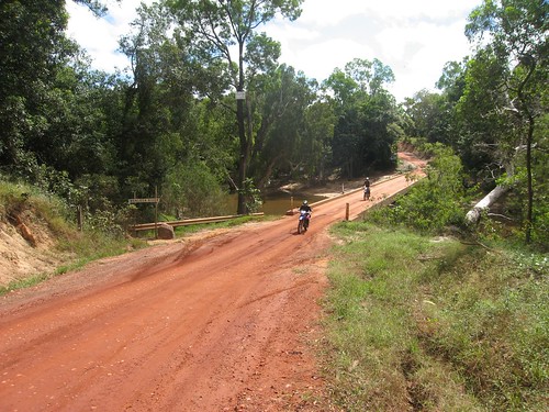
Just after the Wentlock, the more advanced group peeled off towards Frenchmans Road and a longer and difficult route. Peter, Dennis, and I opted to stay on the OTT, get into camp early, and help Roy set up for the night.
Archer River Roadhouse.
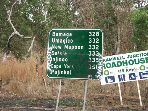
About 50 km north of the Archer River, the OTT becomes the Peninsula Development Road, which we took south to the Archer River Roadhouse.
Peter at the turn to the Peninsula Development Road:
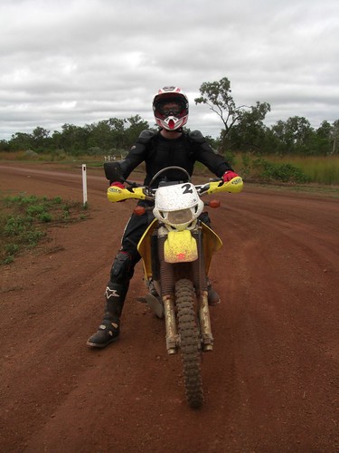
Dennis:
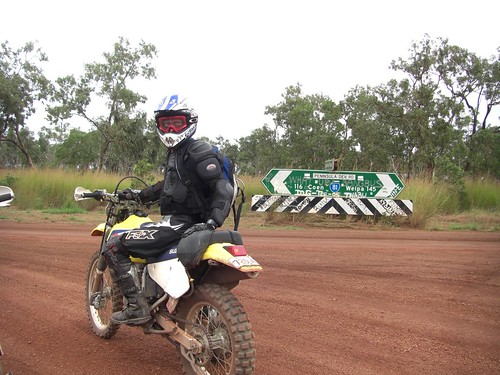
I absolutely loved both of these sections and arrived covered in dust with a huge smile on my face. The creek crossings were mostly evaporated, even this early in the Dry, with enough gravel and rocks to keep things interesting, but nothing I couldn’t do myself. That was sure a welcome change!
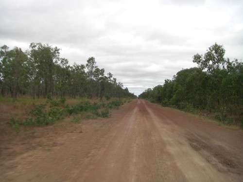
The only wildlife I saw throughout the day, other than two dead wallabies, was a cow in the middle of the road. At first I thought it was feral — apparently, there are such things — until I crested a hill shortly afterwards to see Peter being followed by a helicopter!
It was hovering mere meters above his head as he tilted his head up incredulously to watch it. It followed him for a little while before rising up, doing a large swoop over the both of us, and disappearing off into the horizon. “Cattle rustler,” Roy explained when we mentioned it later.
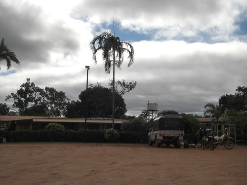
The Archer River Roadhouse is a wonderful little station out in the middle of nowhere, with fuel, toilets, cold drinks, and great hamburgers. We did learn, however, that Australians put beets (“beetroot” to them) on their hamburgers….I don’t know whether we were more horrified by this addition or whether Dennis and Roy were more horrified that we picked our beetroot off! “We like salad on burgers,” they insisted.
Peter, me, and Dennis…damn, I’m short.
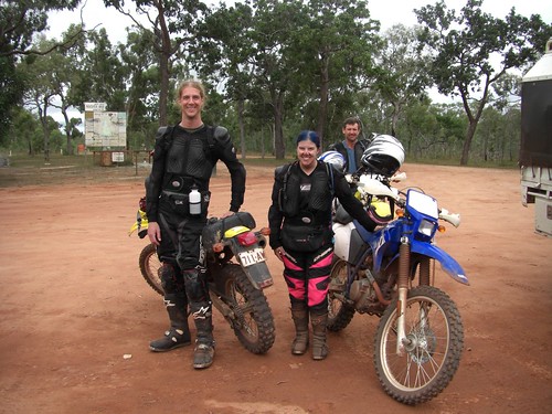
Prior to finding the sinks at the roadhouse:
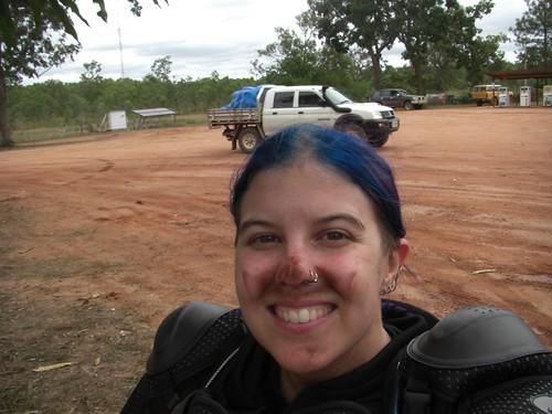
Archer River Roadhouse:
While Roy packed up the truck with more food and supplies, Dennis, Peter, and I rode off to explore the Archer River a little bit.
I’m not sure why these photos look washed out; I probably accidentally had the wrong camera setting on.
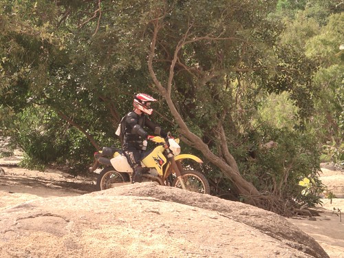
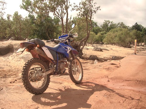
Upon our return, Roy told us he was putting us to work, and off we all went towards the night’s campsite. True to his word, Roy lead in the truck and pulled off the track to forage for firewood.
He did all the chainsawing (wearing Australian Bush safety gear: bare feet and sunglasses, a cigarette hanging from his lips) and the three of us carried the logs back to the truck and carefully placed them in a special rack that pulled out from the front of the Land Cruiser. Clever!
Dennis the paramedic trying to ignore Roy’s bare feet:
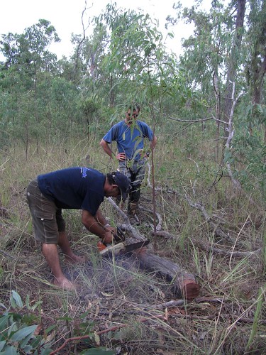
Trivia: termites hollow out those logs, which is how didgeridoos are made.
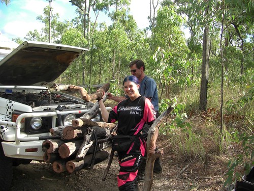
Camping at Archer River.
We arrived early at camp, around 3:30pm, and helped Roy set up for the evening.
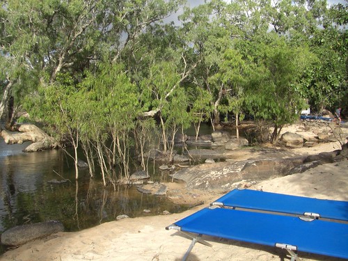
We tossed the blue duffel bags down from their storage spot on top of the truck onto a nearby tarp, then pulled out the folded-up cots and set them all up on sandy ledges in the area. Folding chairs were unfolded and circled around the future campfire location, tables were set up, and the fire was begun.
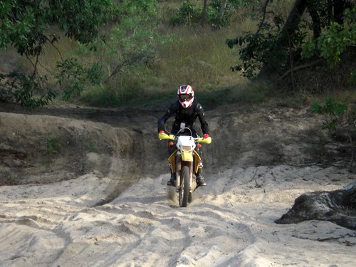
Peter getting the hang of sand, on the way into the camping area:
Our campsite:
After more reassurances from Roy that there were no crocs in the river (“for real, this time”), Peter and I waded in with all of our gear on. Nature’s washing machine! The water was cool but not cold, and it felt great. There was a deeper spot right by out cots that was perfect for swimming around and stretching out.
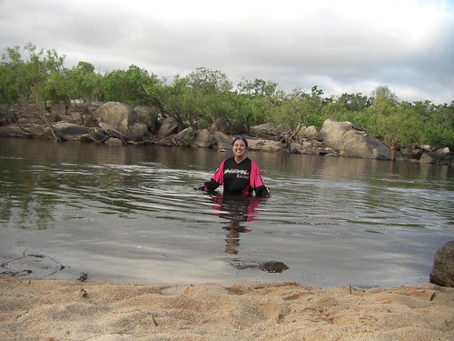
The rest of the group arrived shortly thereafter and followed our lead into the Archer River.
It was another night of good food, beer, and nice conversation with our new Australian friends before heading to bed underneath the stars. The night, like the river, was cool but not cold, and it made for excellent outdoor sleeping.
One Response to Cape York: Bertie Creek – Archer River (204 km)